Earth Observation is moving into a more practical phase.
Over the past decade, the UK’s Earth Observation (EO) sector has improved access to satellite data, developed new analytical capabilities and demonstrated how space-derived information can support climate adaptation, biodiversity, land management, infrastructure resilience and public services.
Scotland is now investing in making this information more widely available. The next challenge is ensuring that the resulting insights reach the people, systems and services making decisions every day.
The issue is no longer simply whether the data exists or whether the technology can generate useful insights. It is whether those insights can be used consistently, confidently and at scale.
Earth Observation and Scotland’s public services
The Scottish Government’s Digital Strategy for Scotland: Sustainable Digital Public Services Delivery Plan 2025–2028 places data at the centre of public service reform. It describes public-sector data as a national asset and highlights the need for better data sharing, stronger data literacy, common approaches and greater use of advanced technology.
The plan makes specific commitments on EO, including nationwide access to EO data by 2028, completion of nationwide LiDAR capture by 2027 and the development of analysis-ready products tailored to public-sector needs. These could include land-cover mapping, flood-risk maps and urban-planning layers.
This aligns closely with Scotland’s wider public service reform agenda, built around services that are more preventative, joined up and efficient. EO can support that ambition by helping organisations better understand places, assets, communities, environmental change and risk.
However, access to data alone will not deliver those benefits. EO must be connected to the processes through which public services are planned, managed and delivered.
The gap between insight and action
EO provides a repeatable and regularly updated view of Scotland’s land, infrastructure and natural environment. Used effectively, it can support earlier intervention, better planning and more informed operational decisions.
Advances in satellite and sensor technology, cloud computing and artificial intelligence are making EO data easier to discover, process and interpret. National initiatives such as the Earth Observation DataHub are also improving access to UK data and processing infrastructure.
Data availability is therefore becoming less of a barrier, although questions of quality, coverage and access remain.
For many public bodies, the more difficult challenge is embedding environmental information into operational decision-making in a way that is trusted, repeatable and accountable.
Most public-sector decisions are not made within dedicated EO platforms or geographic information systems. They are made through case-management systems, regulatory processes, inspection regimes, asset-management workflows, investment programmes, governance arrangements and frontline services.
A flood-risk layer may be technically robust, but how does it influence a planning decision? A land-cover product may be accurate, but how does it support habitat management, enforcement or grant administration? A change-detection alert may be timely, but how does it trigger the right action, by the right team, with an appropriate level of confidence?
Without this operational connection, EO can remain one step removed from the decisions it is intended to improve. The result can be a familiar pattern: strong pilots and promising proofs of concept that demonstrate technical value but struggle to become part of sustained, business-as-usual delivery.
Lessons from digital transformation
This challenge is not unique to EO, it has accompanied many waves of digital change.
For more than 30 years, Informed Solutions has worked with government and regulated sectors to help organisations adopt new technologies and embed them into operational practice. Geospatial technology has long formed part of that work, particularly where location intelligence must be integrated with business processes, operational systems and service delivery.
One lesson has remained consistent: adoption is rarely constrained by technology alone. Successful adoption also depends on governance, workflow design, data standards, integration, organisational capability and user confidence. It requires a clear understanding of who will use an insight, which decision it will support, what action it should prompt and how its impact will be measured.
User-centred design is therefore as important for geospatial tools as it is for other digital services. The people expected to use the information must be involved in shaping how it is presented, interpreted and incorporated into their work.
EO is now reaching this point of maturity. The emphasis is shifting from making data available to making it ready for decisions.
From data availability to decision readiness
Realising Scotland’s ambitions will require practical ways of bringing environmental intelligence into routine operations.
That could mean connecting EO data with information about assets and infrastructure, land parcels and locations, regulatory cases, inspections, performance measures and organisational outcomes.
This is not simply a data-management challenge, it’s an operational one.
Public bodies need to consider how EO-derived insights will be governed, trusted and used. Technology partners must focus not only on producing better data products, but on helping organisations incorporate those products into real services. Stronger connections are also needed between geospatial specialists, digital delivery teams, policymakers and the people responsible for operational decisions.
We have seen the importance of this through our work with NatureScot. Developed through the CivTech programme, InformedINSIGHT™ brings together EO, geospatial information and AI to explore how environmental monitoring can be made more efficient and responsive.
The value lies not simply in bringing more data together. It comes from making the resulting insight usable by the people responsible for understanding environmental change, targeting interventions and making evidence-led decisions.
InformedINSIGHT™ is designed to help address this wider last-mile challenge by connecting environmental intelligence with the workflows and decisions through which organisations operate. It is not intended to become another destination where specialist information sits separately from day-to-day delivery.
That distinction matters. The value of EO will not be measured by the volume of data made available. It will be seen in the decisions improved, risks identified earlier, site visits and inspections better targeted, and outcomes delivered for people, places and the environment.
The next phase for Earth Observation in Scotland
Turning insight into action will require collaboration between public bodies, geospatial specialists, digital delivery teams, technology partners and the people who will use these insights in practice.
It will also require continued investment in skills and organisational capability. Making more information available will achieve little if teams lack the confidence, capacity or processes needed to use it effectively.
Scotland has strong foundations on which to build. Access to data is improving, analytical capabilities are developing and the digital public services delivery plan gives EO a clear place within the future public-sector data ecosystem.
The next phase must focus on adoption. The opportunity is to ensure that investment in EO, LiDAR, AI and geospatial data directly supports Scotland’s public service reform priorities: prevention, efficiency, collaboration and better outcomes.
The question is no longer simply how Scotland can access more Earth Observation data.
It is how that data can become part of better public decisions. Turning insight into action at scale will be the real test of Scotland’s next phase of Earth Observation adoption.
Learn More
If you’d like to find our more about InformedINSIGHT™ in action at NatureScot, including how its cutting Protected Area Monitoring Programme operating costs by as much as 60%, please request a copy of our case study.
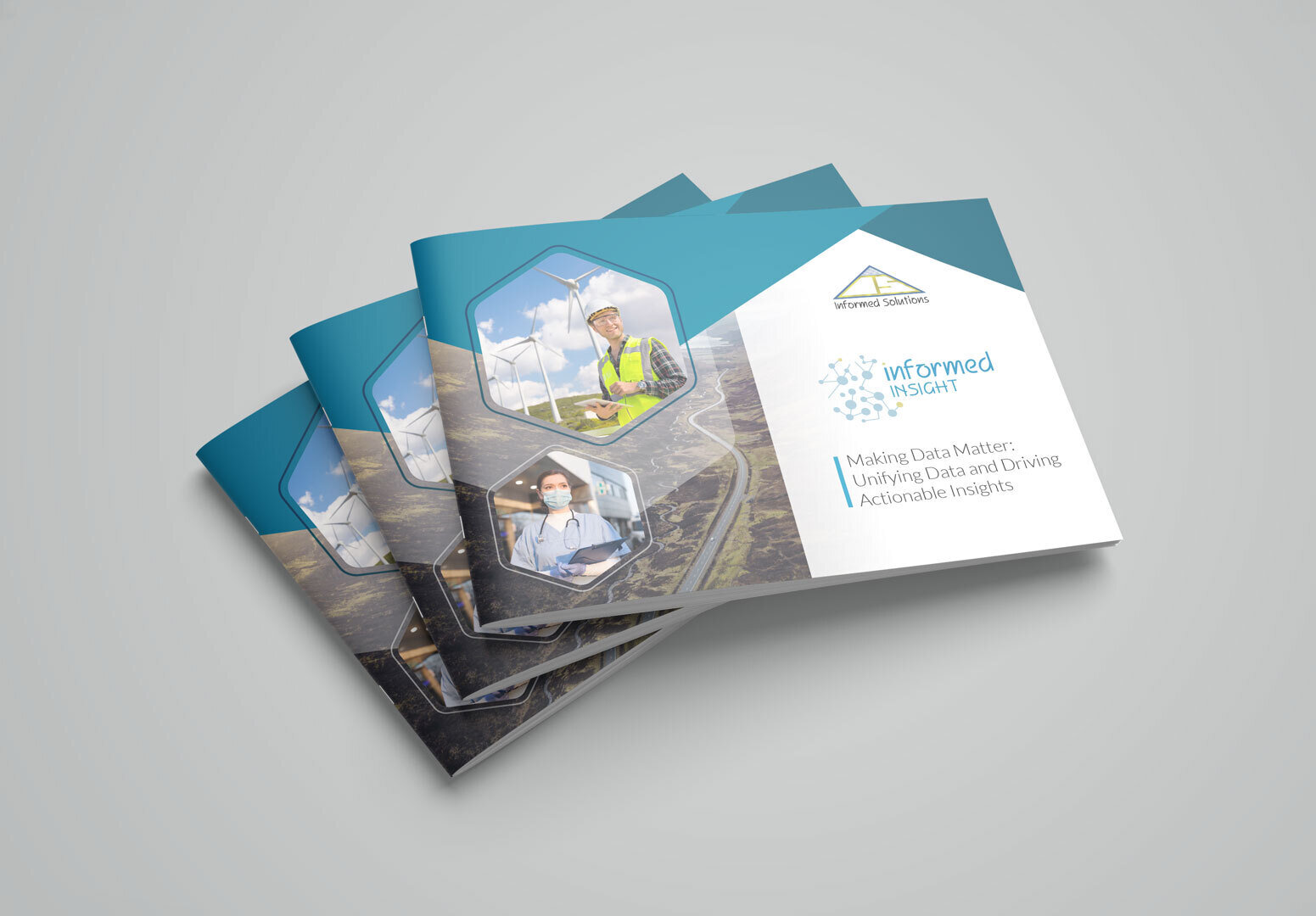
Alternatively, learn more about InformedINSIGHT™ by requesting our our informative digital brochure.
InformedINSIGHT™ - Brochure and NatureScot Case Study
Please submit your contact details below and the asset you’d like to request and we’ll be in touch shortly.
Request Brochure Form – InformedINSIGHT©